

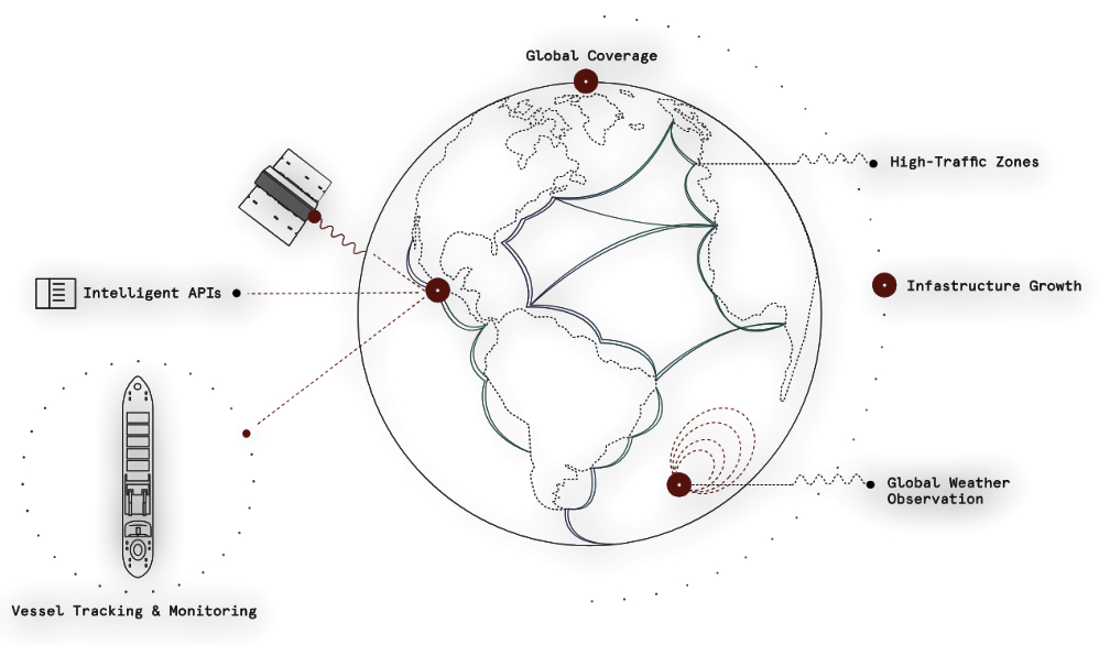
Edinburgh, 12 October 2021. – LatConnect 60 is to use Spire Global’s Automatic Identification System (AIS) vessel-tracking data as a foundation for better predicting maritime traffic patterns, the companies announced. The firm will layer other data sources like satellite imagery, drones, and IoT sensors on Spire’s maritime data.
LatConnect 60 and Curtin University have been awarded a federal grant from the Australian Research Council (ARC) to conduct research on maritime collision avoidance. Their Intelligent Sensing & Perception Laboratory is creating sensor fusion algorithms using space-based data. The aim is to achieve more accurate predictions of traffic patterns for ship owners and insurers.
Regular and near real time AIS data is critical in supporting the accuracy and reliability of collision, contact, and traffic prediction algorithms. LatConnect 60 is planning to launch its first two satellites in 2022 to gather Earth imagery in seven spectral bands. By 2025, the company aspires to have a 16-satellite constellation in operation.