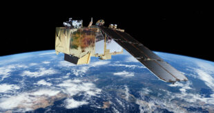
The Digital Earth Africa (DE Africa) platform now has operational analysis-ready Earth observation (EO) data over Africa, using free and open images captured by the European Space Agency’s (ESA) Sentinel-2 satellites. This is the first ever continuously updated satellite data at the continental scale for Africa.
Digital Earth Africa has optimised the availability and accessibility of the data by translating it into a format that makes it suitable for anyone to use. Images captured by Sentinel-2 are available at a high resolution of ten metres and captured every five days. The data will be routinely updated into its analysis-ready format, so anyone across Africa can use it to actively monitor changes to the environment and manage food and water resources.
Availability of this analysis-ready data is a result of international collaborations with Sinergise, Element 84, Amazon Web Services and the Committee on Earth Observation Satellites (CEOS).
Access to this data comes at a critical time when EO is playing a key role in building systems to support the response to and recovery from critical challenges such as the COVID-19 crisis. By providing the data in a more accessible format, a larger range of non-specialist users will be able use its valuable information and insights. From identifying water resources for greater access to clean water to the ability to regularly map food crops, the data will support a wide range of responses to COVID-19.
The DE Africa Map portal is a web-based tool for accessing datasets and data products. You can access the Sentinel-2 data from the data catalogue to explore and visualize areas across Africa.
The announcement was made 15 June on digitalearthafrica.org.


