ISU MSS 2024

Finland’s ICEYE Partners With RS Metrics To Monitor Global Iron Ore Stockpile

Image courtesy of ICEYE.

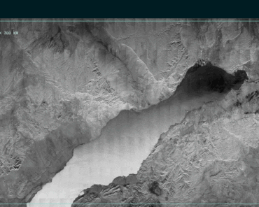
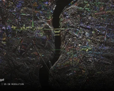
ICEYE, the global leader in small satellite synthetic-aperture radar (SAR) technology, has announced that it has signed a Memorandum of Understanding (MOU) with RS Metrics to jointly offer to the commodities market the world’s first global SAR-based iron ore inventories dataset with up to daily updates. Access to the dataset will provide commodities traders and industry analysts further competitive advantages in predicting supply and demand, at higher update intervals, and with better accuracy.

ICEYE, who recently announced the commercial availability of its high resolution satellite imaging, is uniquely positioned for SAR remote sensing of iron ore stockpiles. With a growing amount of radar imaging satellites in the ICEYE constellation, there is now a completely new view into almost the entirety of the global iron ore supply chain.

“The consistent flow of analysed SAR data — on a global scale — from ICEYE allows users of our already established platform to track iron ore supplies at an unmatched frequency of updates,” said Maneesh Sagar, CEO of RS Metrics. “This partnership of RS Metrics and ICEYE gives our customers exactly what they need to be more successful than ever before.”

In scope of this partnership, ICEYE will provide multi-angle SAR imaging and associated iron ore stockpile analysis to RS Metrics. In turn, RS Metrics will provide its users visibility into supply chain disruptions, regional and global trends, as well as iron ore inventories information that is valuable in predicting commodities and dry bulk price fluctuations.

“The commodities sector can benefit greatly from the reliability that comes with SAR satellite imaging, in comparison to analysis done based on optical satellite data,” said Pekka Laurila, CSO and co-founder of ICEYE. “Traders can get ahead of the market with an added visibility into the supply chain. What ICEYE and RS Metrics bring to the market together is unprecedented information about the global iron ore value chain based on frequent satellite revisit times, unmatched data reliability, and added value insights into the iron ore supply chain.”

Founded in 2010, RS Metrics analyzes and derives data from satellite and aerial imagery to provide fundamental insights, trends, and predictive signals for businesses and investors in metals, industrials, retail, and commercial real estate. RS Metrics’ proprietary, patented technology platform leverages advanced computer vision and machine learning and a scaled quality control workflow to generate accurate, predictive, and consumable information. Data is available in easy-to-use end-user applications, signals, and tools, and as daily data feeds for customers with quantitative focus and capabilities.

Check Also

Space Cafè Radio Frontiers – Mars, Moon and Water with Prof Angel Abbud-Madrid

In this episode, Dr Emma Gatti, Editor in Chief of SpaceWatch.Global, and Prof. Angel Abbud-Madrid, director of the Center for Space Resources at the Colorado School of Mines, dive into engaging discussions about space resources, focusing on water reserves on the Moon and Mars.