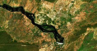

DigitalGlobe, a Maxar Technologies subsidiary company, announced on 9 November 2018 that it has mapped the entire continent of Australia at a unprecedented level of detail using the cutting-edge techniques of artificial intelligence, machine learning, and crowdsourcing. DigitalGlobe produced data layers for PSMA Australia to create Geoscape, a commercial location intelligence dataset about the Australian built environment that will enable end users to make business decisions with confidence. PSMA Australia is an organization that offers authoritative geospatial data sources to public and private institutions across Australia.
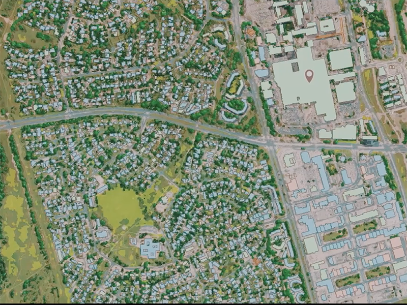
Geoscape accurately describes the physical attributes of every building across all 7.6 million square kilometers of Australia, transforming workflows for monitoring, growth, and optimization across a broad spectrum of industries, allowing organizations to focus on the end result instead of manually gathering the data themselves. Customers now have access to this comprehensive, geospatial dataset without the need to hire Geospatial Information System (GIS) experts or perform costly rounds of site visits. When these data layers are combined to custom-fit the end user’s needs, they provide key insights for accomplishing projects faster, such as infrastructure planning for the next generation 5G networks, insurance risk modelling, and improved urban planning and taxation activities.
The completed Geoscape dataset reveals previously unknown statistics about Australia’s built environment including:
- 15,243,669 buildings
- 1,279,438 buildings with swimming pools
- 1,251,083 buildings with solar panels
DigitalGlobe supplied the industry-leading satellite imagery, analytics, and content ecosystem partners that enabled PSMA Australia to produce a state-of-the-art, innovative dataset. DigitalGlobe tasked its WorldView-3 satellite to collect new imagery of the entire continent with its shortwave infrared (SWIR) sensor, allowing DigitalGlobe to identify materials on each property. Employing its advanced cloud computing-based analytics platform called GBDX, DigitalGlobe leveraged its own algorithms and those from its content ecosystem partners to extract 105 different attributes about properties from the imagery, such as the precise location and height of trees and buildings, existence of swimming pools, land use, roof complexity, and distribution of solar panels. Additionally, Radiant Solutions, another Maxar subsidiary company, produced a continent-scale Land Cover map created using artificial intelligence and a team of trained imagery analysts.
“PSMA Australia is proud to be the first organization to offer a single, national dataset describing buildings and their features, trees and land cover for every address in Australia,” said Dan Paull, PSMA Australia’s Chief Executive Officer. “This innovative dataset is only possible thanks to DigitalGlobe’s industry-leading satellite imagery, analytics and content ecosystem partners.”
“This opportunity demonstrates the value of information available inside DigitalGlobe’s high-resolution satellite imagery that can be unlocked using advanced analytics, cloud computing, artificial intelligence and big data processing,” said Dr. Shay Har-Noy, DigitalGlobe’s Vice President of Unified Platforms. “DigitalGlobe collaborated with PSMA Australia to create Geoscape, and this detailed dataset is transforming businesses with actionable insight to enable faster and better decision-making.”
PSMA will continue to update Geoscape over the next two years with fresh data layers from DigitalGlobe.