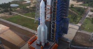

Luxembourg, 12 November 2020. – The Spanish Earth-imaging SEOSAT-Ingenio satellite will be launched on a Vega rocket from French Guiana on 17 November, the European Space Agency (ESA) announced.
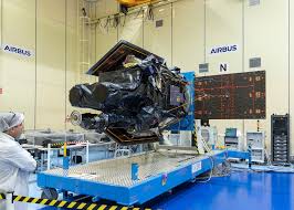
SEOSAT-Ingenio carries a high-resolution dual camera to image the Earth with a resolution of 2.5 meters. With its capability to look sideways, it can access any point on Earth within three days, ESA said. It will be used to help map natural disasters such as floods, wildfires, and earthquakes, and manage climate change.
The information from SEOSAT-Ingenio will be used by different Spanish civil, institutional and government users, but also potentially by other European users in the framework of the European Union’s Copernicus program and the Group on Earth Observations’ Global Earth Observation System of Systems, ESA said.
SEOSAT-Ingenio is funded by Spain’s Centre for the Development of Industrial Technology (CDTI) of the Ministry of Science and Innovation. It was developed by ESA in the context of the European Earth Observation Architecture.
In an interview with SpaceWatch.Global, Satlantis CEO Juan Tomas Hernani compared the ESA mission to Satlantis’ commercial venture, an Earth observation camera with “(o)ne tenth of the weight and three times the resolution”, as he said.