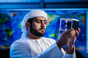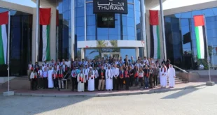
Edinburgh / Abu Dhabi, 5 November 2021. – Yahsat Government Solutions and G42 Space Program want to work together to deliver AI-enabled remote sensing services to customers, G42 announced.
Under the agreement, satellite company Yahsat will make use of G42’s artificial intelligence, cloud computing and analytics capabilities.
The companies´aim is to advance remote sensing and geospatial potential in the UAE. The technology is used to monitor natural phenomenon and human activities from space using optical, radar, and radio frequency sensors. Remote sensing technologies and data analysis play a vital role in environmental mapping, urban development, and public safety.
The collaboration brings space technology, AI and Big Data together to have access to timely data “along with advanced interpretation capabilities,” Yahsat said. The cooperation wants to enable improving the acquisition, processing, and dissemination of geospatial data to fulfill the needs of domestic and international customers.
 SpaceWatch.Global An independent perspective on space


