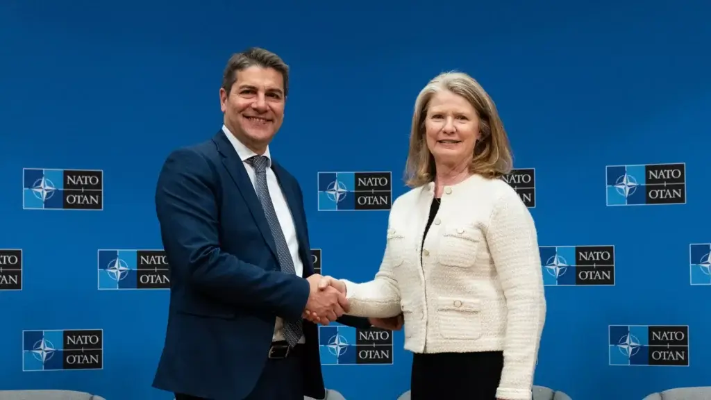
Ibadan, 27 February 2026. – On Thursday, 26 February 2026, NATO HQ hosted the first “Spatial Edge: USGIF Day”, event, bringing together experts from Allies, industry and academia to examine how geospatial intelligence (GEOINT) supports NATO’s collective defense.
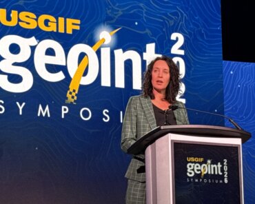
Opening the event, NATO’s Deputy Secretary Radmila Shekerinska underlined the growing importance of geospatial intelligence for situational awareness and operational effectiveness across the Alliance. The Deputy Secretary General also highlighted the value of working with partners and the private sector in a rapidly evolving security environment.

Organized by NATO Headquarters’ GEOINT Team in cooperation with the United States Geospatial Intelligence Foundation (USGIF), the one-day program also explored how Allied interoperability when it comes to geospatial intelligence can strengthen NATO’s deterrence and defense.
Additionally, discussions looked at the role of emerging technologies across the intelligence enterprise, including artificial intelligence and automation. The USGIF Day at NATO is part of NATO’s broader efforts to strengthen intelligence collaboration and leverage emerging technologies to enhance readiness and resilience across the Alliance.
Meanwhile, NATO is also moving on to the next stage of its project that will deliver its future-fit surveillance capabilities towards multi-domain surveillance and tactical control. The Alliance Future Surveillance and Control (AFSC) project consists of a “system of systems” where NATO, multinational, and national ground, air, maritime and space assets are connected to one another to provide a collaborative, multi-domain surveillance and control capability.
NATO and Allies will subsequently work closely with industry to tailor future national and multinational capability developments to the AFSC’s specific needs in Intelligence, Surveillance and Reconnaissance (ISR) and tactical control.