Day two of the USGIF GEOINT 2026 Symposium in Denver expanded the conversation from allied integration to global geospatial perspectives, AI deployment challenges, and the Indo-Pacific security landscape.
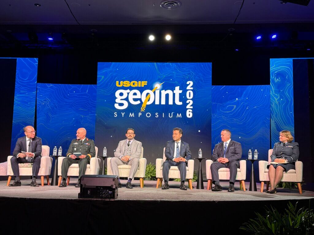
Global GEOINT Perspectives Panel
A high-level international panel moderated by Pacôme Revillon brought together leaders from NATO, NGA, the UK, Canada, and Japan. Brigadier General Yannick Michaud of the Canadian Armed Forces highlighted Canada’s commitment to reaching 3.5% GDP defense spending and emphasized Arctic sovereignty alongside its role as NATO framework nation in Latvia. Air Commodore Judith Graham, newly appointed Acting Commander of the UK’s National Centre for Geospatial Intelligence, outlined plans to consolidate operations at RAF Wittering and build an ecosystem modeled on NGA’s St. Louis approach. Motoyuki Arai, CEO of Japanese SAR startup Synspective, detailed Japan’s innovative public-private partnership scheme combining Performance-Based Logistics service procurement with dual-use constellation design – a model now contracted by Japan’s Ministry of Defense. NGA’s Alex Berger stressed deconfliction over redundancy across allied capabilities, while NATO’s Maj. Gen. Paul Lynch reinforced that NATO relies entirely on member-nation space assets, with the Aquila virtual constellation under the Allied Persistent Surveillance from Space program now reaching initial operating capability.

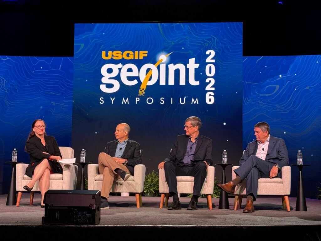
AI Inflection Point
A panel moderated by Dr. Michelle Aten featured Peter Kant (Enabled Intelligence), Brian McClendon (Niantic Spatial, formerly of Google Earth), and Dan Smoot (Vantor). Discussion focused on the evolution from 2D to 3D and 4D data representations, including Gaussian splats as a breakthrough format compatible with semantic AI. Panelists addressed the “yes-button fatigue” of human-in-the-loop systems, calling for policy frameworks -not just technology fixes-to govern autonomous AI decision-making. Smoot emphasized geo-accuracy as foundational, citing a recent case where Vantor’s imagery debunked false media reports about a West African airport attack. Kant called for a national-level GEOINT foundation model trained on NTM imagery, noting current commercial foundation models don’t transfer to government sensors.
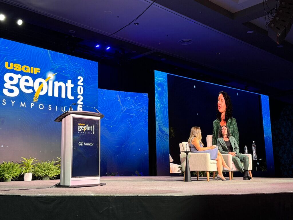
Australian Keynote
Kathryn McMullan, Director of the Australian Geospatial-Intelligence Organisation (AGO), delivered a compelling keynote framing AGO’s mantra as “data-driven and technology-enabled.” She emphasized Australia’s strategic paradox: a nation of 28 million on a continent-sized landmass at the edge of the world’s most consequential region. McMullen highlighted the Five Eyes partnership, expanding cooperation with Japan, India and Indo-Pacific allies, and described how GEOINT now supports both defense targeting and broader homeland resilience missions-from fuel crises to supply chain monitoring. She also noted Australia’s growing demand for scalable maritime domain awareness from commercial partners.