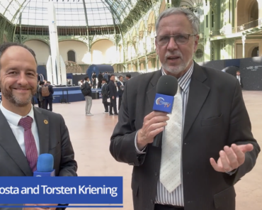
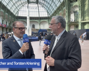
From the Grand Palais on day two of the International Space Summit in Paris, Torsten Kriening sits down with Dr. Martin Langer, CEO of OroraTech, fresh from an announcement that made headlines across the wires.
OroraTech will deploy its thermal sensors across a large fleet of Eutelsat OneWeb satellites – a development Langer describes as nothing less than a breakthrough. What it delivers, above all, is fast scalability in two directions. On the hardware side, the company continues to produce its sensors while piggybacking on a trusted partner’s platform. On the network side, it dramatically enhances overall data throughput, delivering the low latency and always-on capability its clients need, on a constellation offering secure communications.

The result, Langer explains, is a genuinely connected orbital data center: OroraTech’s GPUs processing on board, always on, with a sensor attached, allowing different algorithms – including sovereign applications – to be deployed and turned into live information and insight. He is keen to frame it as infrastructure, another layer no different in principle from the infrastructure built here on Earth, which makes partnering a natural step. The sensors will fly on the next generation of OneWeb satellites, with launches beginning around 2028, and the data will remain OroraTech’s own, feeding into a single homogeneous data stream alongside the company’s in-house platforms – a deliberately hybrid approach that balances rapid scale with the sovereign capability some clients require.
The capability numbers are compelling: revisit times of roughly 15 to 30 minutes, moving toward near real-time at higher latitudes given the polar inclination of the constellation. Langer also draws a neat line between apparently different use cases. Wildfire detection and dark vessel detection, he explains, both come down to identifying a thermal signature against a background that wasn’t there before – different temperatures, similar algorithms – and both depend on high revisit rates across enormous areas such as the entire North Atlantic, where high-resolution sensors cannot help because you don’t know where to look. It is, in his words, about finding the needle in the haystack. The concept he calls “GEOINT from LEO” captures the shift: at sufficient scale, value comes not from a single detection but from the difference between what has been seen a hundred times and what appears the hundred-and-first.