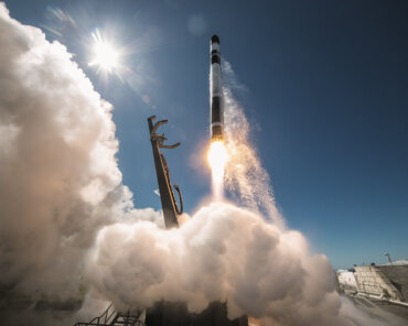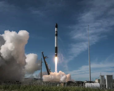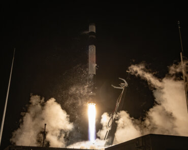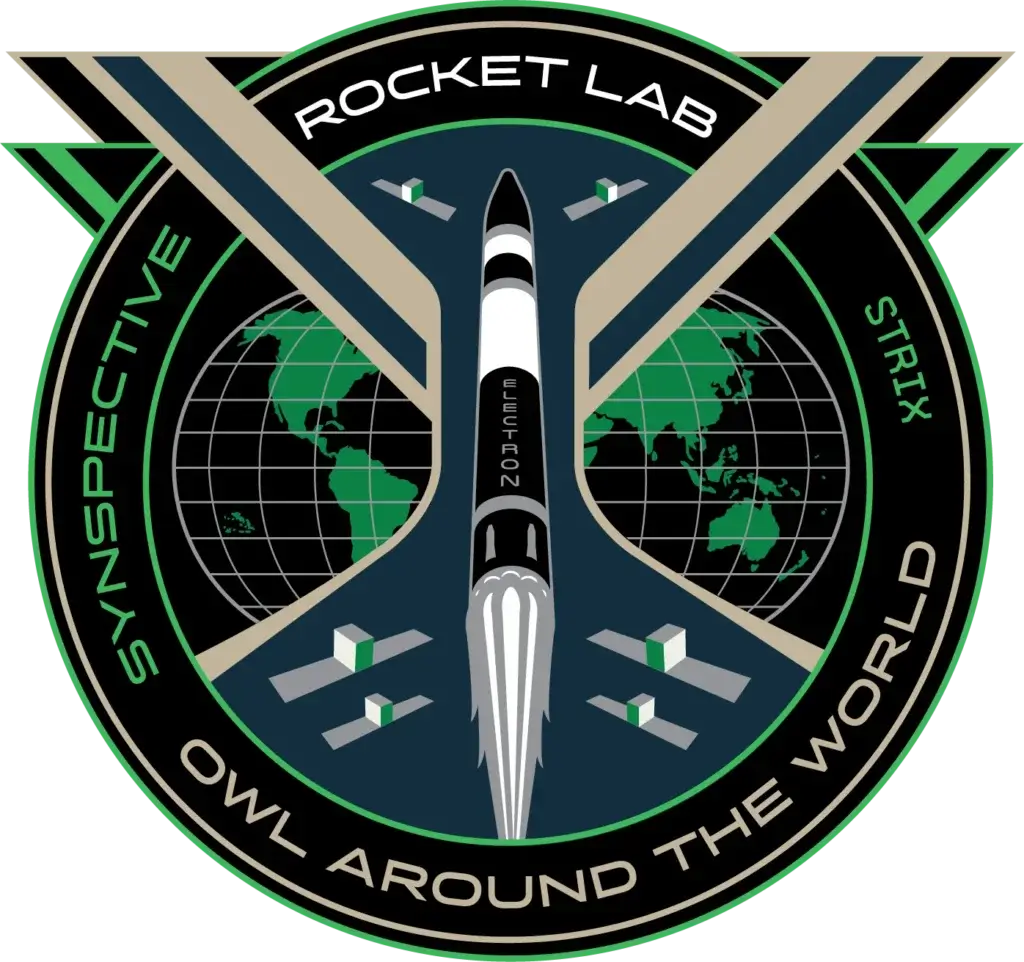
Ibadan, 24 August 2026. – Japan-based Synthetic Aperture Radar (SAR) satellite data and analytics provider Synspective has announced 31 August as the launch date for its 11th StriX SAR satellite. The mission will lift off aboard Rocket Lab’s Electron rocket from Launch Complex 1 on New Zealand’s Mahia Peninsula.
Rocket Lab continues Synspective’s constellation build-out

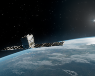
Dubbed “Owl Around The World,” Rocket Lab’s latest launch for its long-term customer will deploy a single StriX Earth-observation satellite into a 575-km low Earth orbit. The satellite will join Synspective’s SAR constellation, which provides Earth-observation data for applications including construction and infrastructure monitoring, urban development planning and disaster response.
Rocket Lab has been the sole launch provider for Synspective’s StriX constellation since 2020, and the upcoming mission will mark its 11th dedicated Electron launch for the company. The two companies have now contracted a total of 27 Electron missions to deploy Synspective’s constellation, with 16 additional missions remaining after the upcoming launch.
Synspective’s 10th StriX satellite was successfully deployed to a 552km low Earth orbit on 27 June, when Rocket Lab’s Electron launched the “Ten Owl Of Ten” mission. What therefore began in 2020 when Rocket Lab launched Synspective’s first experimental SAR satellite has since evolved into one of Electron‘s largest constellation-deployment partnerships.
From global expansion to flood intelligence
Beyond expanding its constellation, Synspective is also pursuing international growth, including through the establishment of a European subsidiary in Munich, Germany. The company is consequently targeting customers across Europe, the Middle East and Africa (EMEA) with its SAR imagery and data-driven solutions.
Furthermore, Synspective and Spectee recently announced a joint new method for enhancing flood-extent estimate precision by combining wide-area inundation data from SAR satellites with location-specific flood-depth information derived from social media posts, alongside elevation and land-use data.
The method could support faster and more accurate assessments of flooding immediately following a disaster, providing a more detailed picture of conditions on the ground.