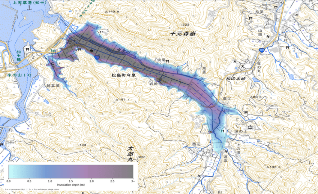
Ibadan, 13 August 2026. – Synspective Inc., a provider of Synthetic Aperture Radar (SAR) satellite data and analytics solutions, and Spectee Inc., a provider of AI-driven real-time disaster prevention and crisis management services, have developed a new method for estimating flood extents in greater detail than either data source could achieve alone.
Developed as part of a partnership announced by the two companies in July 2025 to accelerate and enhance disaster response, the method integrates wide-area flood extents extracted from SAR satellite data with location-specific flood-depth information derived from social media posts. The technique’s effectiveness has been confirmed through a joint retrospective analysis of past heavy rainfall data.

Combining complementary satellite and social media data to improve flood mapping
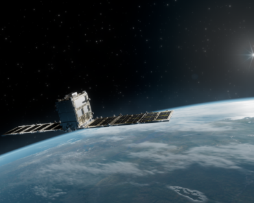
Synspective has contributed to flood risk management with solutions that leverage its StriX radar satellite to observe and analyze wide-area land surface conditions day or night, regardless of weather conditions. However, relying solely on satellite observations presented challenges in accurately capturing localized flooding in densely populated urban areas with high-rise buildings and housing.
Conversely, Spectee’s AI automatically analyzes social media posts to identify flood locations and depths, estimating flood extents in real time. While effective at pinpointing localized ground-level impacts, Spectee’s approach faced limitations in regions with few or no social media posts.
To address these complementary challenges, the two companies have been collaborating since July 2025 to develop a novel flood analysis solution. By fusing Synspective’s “Eye in the Sky” (SAR satellites), which captures wide-area coverage, with Spectee’s “Eye on the Ground” (social media data), which captures ground-truth details, the combined approach effectively eliminates each system’s blind spots.
From flood mapping to actionable disaster intelligence
The new method’s practical application will subsequently enable early assessments of flooding conditions that better reflect the situation on the ground immediately following a disaster. More so, the solution offers broad utility for private enterprises, including corporate facility damage assessment, business continuity planning (BCP), and supply chain risk evaluation.
Synspective expands its European footprint
Coinciding with the announcement of the flood extent estimation method, Synspective has opened its previously announced new European subsidiary, Synspective Europe GmbH, in Munich, Germany.
Led by Iain MacInnes, a European base in Germany enables the Japan-based Earth observation company to gain direct access to European programs and funding while fostering closer ties with a region heavily investing in space technology.
Furthermore, Synspective’s European expansion follows that of Rocket Lab, which has also established a strategic footprint in Germany, potentially creating opportunities for closer cooperation between the two companies as they expand their European operations.
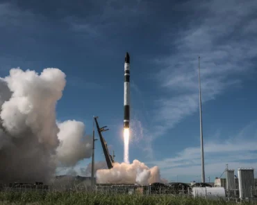
As recently as June, Rocket Lab conducted its tenth dedicated launch for Synspective, deploying the latest StriX radar satellite into a 552km low Earth orbit. Following the launch, The Earth Observation company’s StriX radar constellation now comprises ten operational satellites, all of which have been deployed to space by Rocket Lab’s Electron rocket.