Ibadan, 12 September 2025. – The Idaho Department of Lands has partnered with OroraTech USA to become the first in the nation to deploy a statewide satellite-based wildfire detection and monitoring system, giving dispatch centers and firefighters a powerful new tool to protect Idaho’s landscapes, communities, and economy.
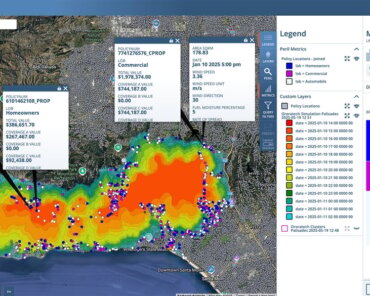
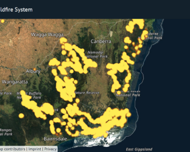
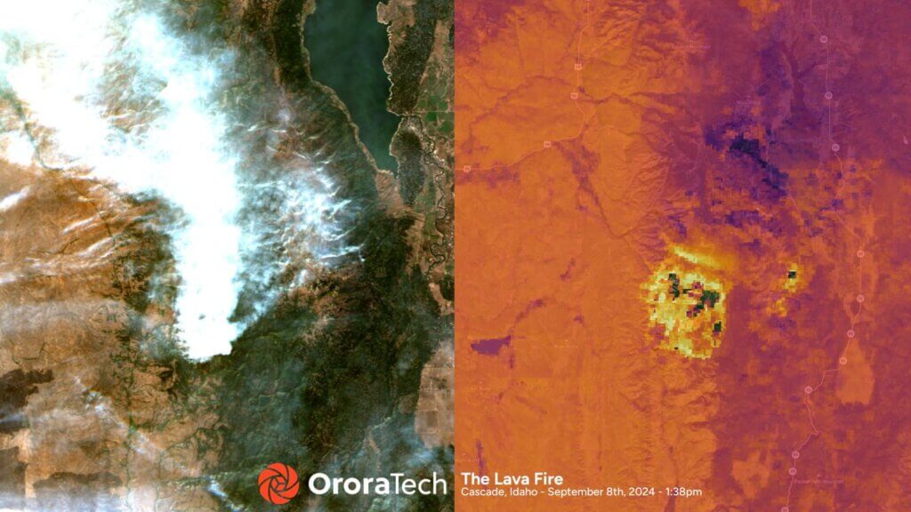
The initiative will subsequently integrate OroraTech’s Wildfire Solution platform, which uses public and proprietary satellites equipped with advanced thermal imaging to detect heat anomalies and emerging fires in near real time. By providing fire location, intensity, and predicted spread within minutes, the system enables faster, more informed decisions during critical wildfire situations.
“By partnering with the Idaho Department of Lands, we’re ensuring that firefighters across the state have access to the most advanced wildfire intelligence available,” said Thomas Gruebler, CEO of OroraTech USA. “With the ability to detect wildfire ignitions that are the size of a small automobile, we are giving Idaho’s first responders every possible advantage in protecting lives, property, and the land that defines this great state.”

Idaho has a proud history of proactive forest management and wildfire preparedness, with state agencies, landowners, and communities working together to reduce risk and safeguard natural resources. This new partnership builds on that legacy, positioning Idaho as the first in the United States to implement wildfire satellite detection at a statewide scale.
The Wildfire Solution platform draws on data from OroraTech’s public and proprietary wildfire satellites as well as other public sources, creating unmatched situational awareness for firefighting agencies. The technology operates day and night, even through smoke and cloud cover, and integrates predictive modeling to anticipate fire growth and movement.