Cospar 3 - Banner

2018 to be Active Year for Pakistani Space, With Chinese Help

An unknown artist’s conception of Pakistan’s PRSS-1. Image source is unknown.

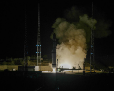
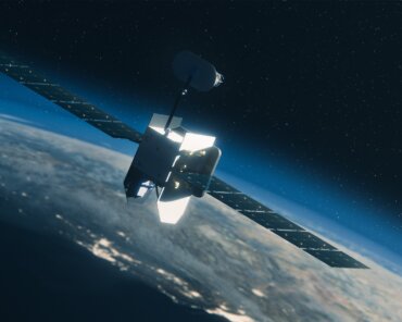
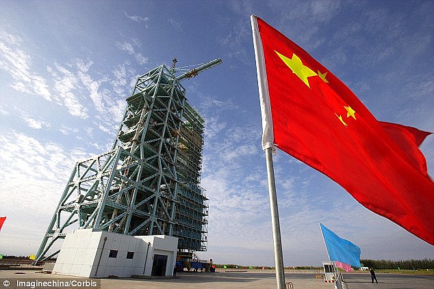
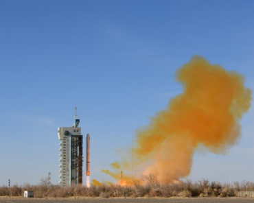
Often cast in the shadow of the space activities of its Indian neighbour, Pakistan’s space programme is all-too-often ignored. 2018, however, may be the year that Islamabad’s space ambitions pass some critical milestones, albeit with help from its other neighbour, China.

Earlier in March, Pakistan’s Space and Upper Atmosphere Research Commission (SUPARCO) signed an agreement with the China Great Wall Industry Corporation for the operation of the PakSat Multi-Mission-1 (PakSat MM-1) communications satellite at one of Pakistan’s geostationary orbital slots located at 38.2° East. PakSat MM-1 has been leased by SUPARCO from AsiaSat, who originally operated the Boeing-built satellite as ASIASAT-4 that was launched in 2003. ASIASAT-4 has been replaced by ASIASAT-9 in the Hong Kong-headquartered AsiaSat’s fleet.

Along with PakSat-1R, launched in 2011 and built by China Great Wall Industry Corporation, PakSat MM-1 will be operated in a joint venture between SUPARCO and China Great Wall to provide satellite communications services in Pakistan, one of the world’s fastest growing economies in spite of widespread official corruption and political instability.

On top of the successful handover this month of operational control of PakSat MM-1, it is also expected that the high-resolution electro-optical Pakistan Remote Sensing Satellite-1 (PRSS-1) will be launched by China later in 2018 and enter service to provide Pakistan with much-needed strategically autonomous Earth observation capability.

PRSS-1 has been built by Chinese satellite manufacturer China Academy of Space Technology (CAST), and China Great Wall Industry Corporation will launch the satellite later in 2018. The PRSS-1 satellite is similar to the one built for Venezuela by CAST, called the Antonio José de Sucre, launched on 8 October 2017, from the Jiuquan launch site in China. The Venezuelan satellite has a one meter resolution in panchromatic, and four meter multispectral resolution.

Pakistan and China signed an agreement for PRSS-1 in 2016, which includes provisions for technology transfer to Pakistani engineers and scientists.

Whether Pakistan can make any commercial revenue out of its communications and Earth observation satellites is doubtful, but given ongoing geopolitical tensions with India and growing differences with the United States, Islamabad’s traditional strategic patron, the Pakistani’s have had to turn to China – an emerging strategic patron – for its space needs.

Pakistan plays a key role in China’s Belt and Road Initiative (BRI) through the landmark U.S.$40 billion China-Pakistan Economic Corridor (CPEC) that links landlocked Western China with the Indian Ocean via a network of roads, railways, and pipelines through Pakistan and linking up at the Chinese-built port of Gwadar on Pakistan’s Indian Ocean coastline between India and Iran. As with many aspects of the BRI’s infrastructure development, satellites play a critical role in providing connectivity, positioning, navigation, and timing, and overhead intelligence, surveillance, and reconnaissance for infrastructure operations, management, safety, and security.

As a result, SUPARCO’s ambitions to utilize Pakistani communications and Earth observation satellites, as well as being an anchor user of China’s Beidou satellite navigation system, is provided with a strategic and economic rationale through CPEC and the strategic alliance with China.

Check Also

ICEYE Raises Growth Funding Round for Global SAR Leadership

ICEYE has announced a definitive agreement signed for an oversubscribed $93M growth funding round. The financing will further accelerate investment in the world's largest constellation of SAR satellites and expand the company's portfolio of innovative data and subscription products.