SpaceWatch.Global An independent perspective on space


The DubaiSat-2 satellite has captured a high definition image of the Dubai Water Canal and various facilities that surround it such as residences, hotels and recreational centres. The image illustrated the completion of the construction of the area, along with the canal filled with water.
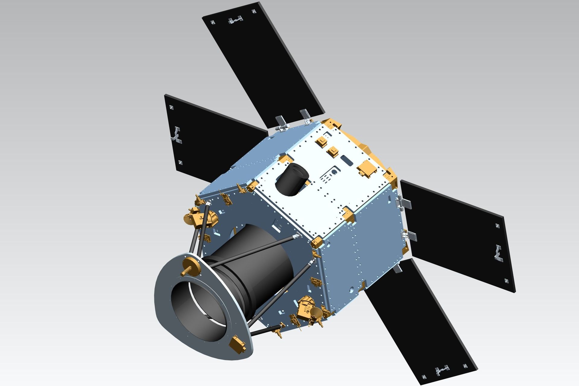
Owned and operated by the Mohammed Bin Rashid Space Centre, DubaiSat-2 provides high quality satellite images to several institutions within the UAE and internationally, for urban planning and mapping, monitoring environmental changes and disaster management. The satellite’s camera features a 1-metre panchromatic resolution and a 4-metre multi-spectral resolution (coloured images). It can store 512 images, each 12km x 12km in size.
The DubaiSat-2 was launched in 2013 through the Dnepr in Yasny Cosmodrome to circulate a sun-synchronous orbit, 600 km in altitude.
Original published at: http://spacewatchme.com/2016/11/mbrscs-dubaisat-2-captures-dubai-water-canal-image/