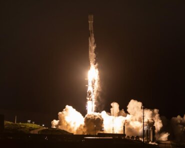
Following the violent earthquake that hit Turkey and Syria on the night of 6 February, the Italian Space Agency (ASI) has made satellite images from the COSMO-SkyMed radar constellation available


You are currently viewing a placeholder content from Vimeo. To access the actual content, click the button below. Please note that doing so will share data with third-party providers.
More InformationYou are currently viewing a placeholder content from YouTube. To access the actual content, click the button below. Please note that doing so will share data with third-party providers.
More InformationYou need to load content from reCAPTCHA to submit the form. Please note that doing so will share data with third-party providers.
More Information