The China Meteorological Administration (CMA) has created a disaster response, mitigation, and monitoring mechanism for countries along its Belt and Road Initiative (BRI) using its Fengyun Earth observation meteorological satellites.
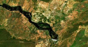
Countries that experience extreme weather, natural disaster, or some other catastrophe can enlist CMA satellite assistance via the World Meteorological Organisation (WMO). Once a request has been received, CMA claim that they can then have their constellation of Fengyun satellites monitor the disaster area as much as every five to six minutes in order to aid disaster recovery and mitigation, as well as to provide early warning of further danger to populations and emergency responders.
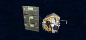
China has operated variants of the Fengyun meteorological satellite for fifty years, and currently operates nine in geostationary and Polar low-Earth orbits. The initial Fengyun (FY) satellites were launched in the late 1980’s when FY-1A – a Polar orbiting satellite – was lofted in 1988, but was lost after 39 days. Other satellites in the FY-1 series include the FY-1C that was destroyed in a Chinese antisatellite (ASAT) weapon test in January 2007, and FY-1D that remained operational until at least 2011. The FY-1 series Polar-orbiting satellites has been replaced by the FY-3, with four in orbit and another three to be launched between 2018 and 2022.
The FY-2 series of satellites are in geostationary orbit since 1997, and there are currently six satellites in operation, with the last of the series – FY-2H – due to be launched later in 2018. The FY-2 series is being replaced by the FY-4 generation, with FY-4A launched in 2016, and FY-4B and FY-4C to be launched later in 2018 and 2020 respectively. An additional three FY-4 satellites may be launched thereafter.
The introduction of the Chinese disaster response and monitoring service is the first remote sensing programme to be rolled out across the BRI area that stretches across the Eurasian supercontinent from China in the East to Western Europe, encompassing Southeast Asia, South Asia, Central Asia, Middle East, Africa, and the Indian Ocean. Hitherto, the space element of the BRI has been centred around creating a satellite communications network across the BRI area through Chinese-owned satellites, satellites built by China for other countries, and through the acquisition of satellite communications providers in Eurasia.


