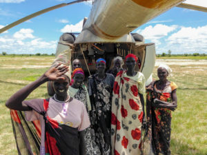
Over three years of internal conflict in South Sudan has led to severe food and nutrition insecurity. Nearly one third of the population is in need of emergency food assistance, and the spread of violence has displaced 3.4 million people across South Sudan and into neighboring countries since December 2013.
In February, the IPC National Technical Working Group in Juba declared a Famine (IPC Phase 5) in central Unity State of South Sudan. Although available evidence was insufficient to make a Famine determination following IPC protocols, the IPC Emergency Review Committee agreed that a Famine was likely occurring.
Since then, emergency food assistance was distributed to over 30,000 people in Koch, nearly 128,000 people in Mayendit, over 98,000 people in Panyijiar, and over 71,600 people in Leer. Yet severe food insecurity persists.
To improve population information, the Famine Early Warning System Network (FEWS NET) is once again partnering with Tomnod to gather data on five counties: Panyijiar, Leer, Guit, Koch, and Mayendit. This information can help humanitarians plan better responses, strengthen data analysis, and help those delivering aid know where to find those in need.
Using DigitalGlobe satellite imagery of the five counties, people can tag permanent dwellings (such as tukuls or circular-shaped homes), temporary dwellings (such as tents), and herds of livestock. FEWS NET then uses this valuable data set to better accurately assess the level of food insecurity in South Sudan.
A similar campaign was done in 2015 in four South Sudanese counties. The 2015 Tomnod campaign helped identify 46,000 permanent shelters and herds of cattle covering 14,000 square kilometers with the help of over 25,000 users in a matter of two weeks.
FEWS NET monitors acute food insecurity in 34 countries, gathering evidence on the current food security situation from a variety of sources. Drawing on a knowledge base and evidence from ongoing monitoring, analysts provide projections for likely food security outcomes. FEWS NET’s evidence-based analysis is then used by decision makers to guide humanitarian response plans.
Written by Marie Maroun, FEWS NET Communications Coordinator, and first published on the DigitalGlobe blog.
Republished at: https://spacewatch.global/2017/04/using-crowdsourcing-map-displacement-south-sudan/
 SpaceWatch.Global An independent perspective on space

