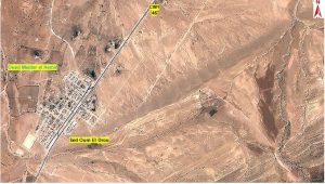
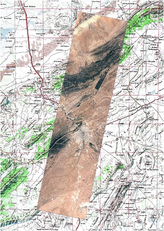
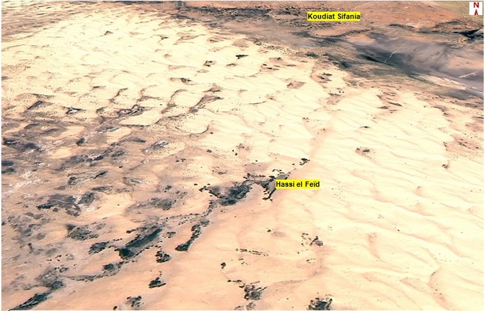
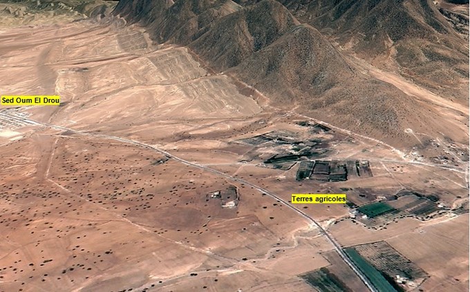
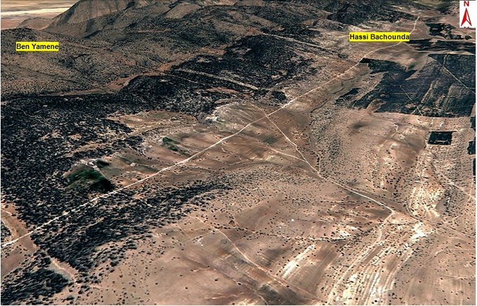
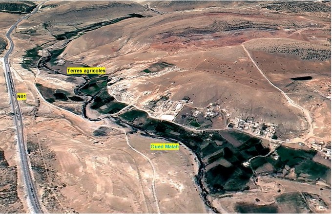
The Agence Spatiale Algerienne (Algerian Space Agency) recently released remarkable satellite imagery of the Algerian province (wilaya) of Djelfa, located about 300 kilometres south of the capital city of Algiers, taken by its ALSAT-2A remote sensing satellite.
The Djelfa province is surrounded by the Algerian provinces Tissemsilt and Medea in the north; M’Sila and Biskra in the east; Laghouat Tiaret in the west; and Ouargla and Ghardaia in the south. The province covers an area of 32,256.35 square km, and is characterized by pastoral activity, as well as tree crops, grain farming, market gardening and fodder crops.
EADS Astrium, now Airbus Defence and Space, signed a contract in February 2006 with the Algerian National Space Technology Centre (CNTS) for the development of the ALSAT-2 system, which consists of two optical earth observation satellites. ALSAT-2 is the first Earth observation satellite system from the AstroSat-100 family built using the Myriade platform, a small satellite bus developed by EADS Astrium and the French space agency, Centre National d’études Spatiales (CNES).
The ALSAT-2 contract coverered the design and development of two satellites. The first, ALSAT-2A, was integrated and tested in France at EADS Astrium, whereas the second, ALSAT-2B, was integrated in Algeria within the small satellite development centre (UDPS) in Oran, Algeria. The ALSAT-2 programme also includes the construction of two ground control segments and one imagery station allowing the satellites to be operated and controlled from Algerian territory.
ALSAT-2 is equipped with NAOMI (New AstroSat Optical Modular Instrument), a payload capable of supplying images with a resolution of 2.5 metres in panchromatic mode and 10 metres in each of four colour bands in multispectral mode. It draws on EADS Astrium’s extensive experience in Earth observation, most particularly with respect to the silicon carbide telescopes that were being integrated onto a Myriade class satellite platform that was designed in cooperation with CNES.
The CNTS, affiliated with the Algerian Space Agency (ASAL), is responsible for managing the ALSAT-2 programme and operating the satellite system.
The ALSAT system enables Algeria to obtain very high quality images for use in a wide variety of applications: cartography, management of agriculture, forestry, water, mineral and oil resources, crop protection, management of natural disasters and land planning.
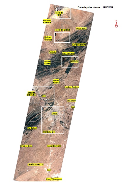
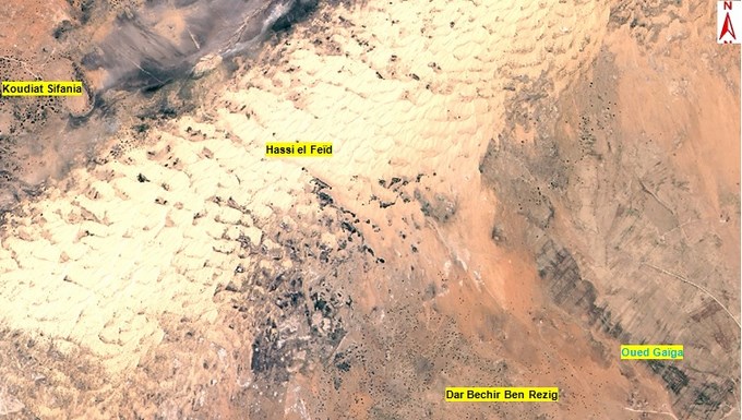
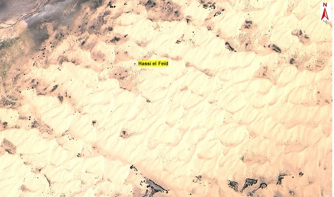
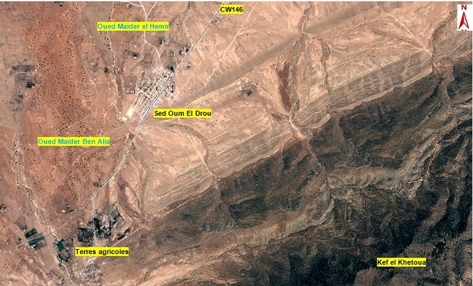
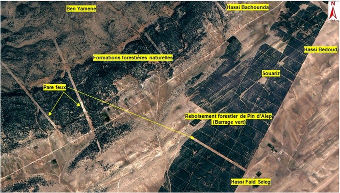
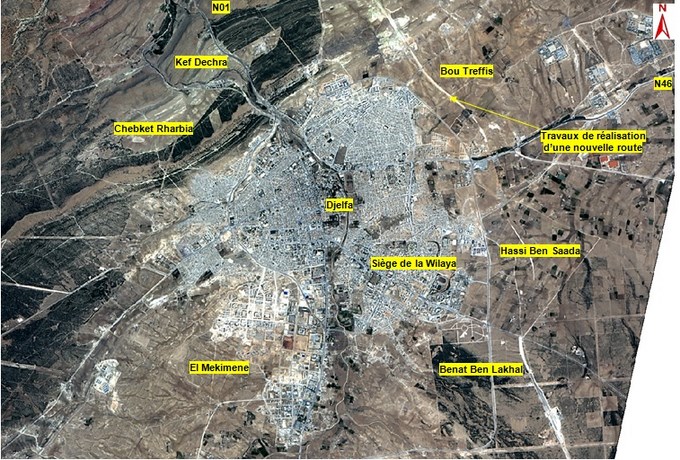
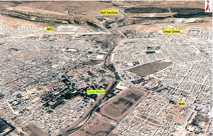
The ALSAT-2A images taken on 16 May 2016 highlight the natural and urban characteristics of Djelfa province:
 SpaceWatch.Global An independent perspective on space

